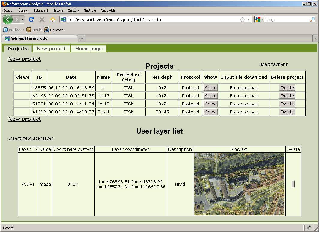
Includes projects created by user from his data. The projects can be loaded to avoid the need for repeated data input. Projects can be sorted according to some parameters (eg date, name of project).
Table includes for each project the following:
ID; project name (set by user); creation date; coordinate system; the number of columns and rows of grid; link to the protocol of the calculation; button to view tensors in the map window; a link to the input file; button to delete the project.

-
Saved views
Users can also save the resulting views of the map application for later use. These saved views can be loaded to reproduce the exact state of the map application as at the time of saving.
-
Deleting projects
Users can delete their projects by pressing the "Delete" button.
